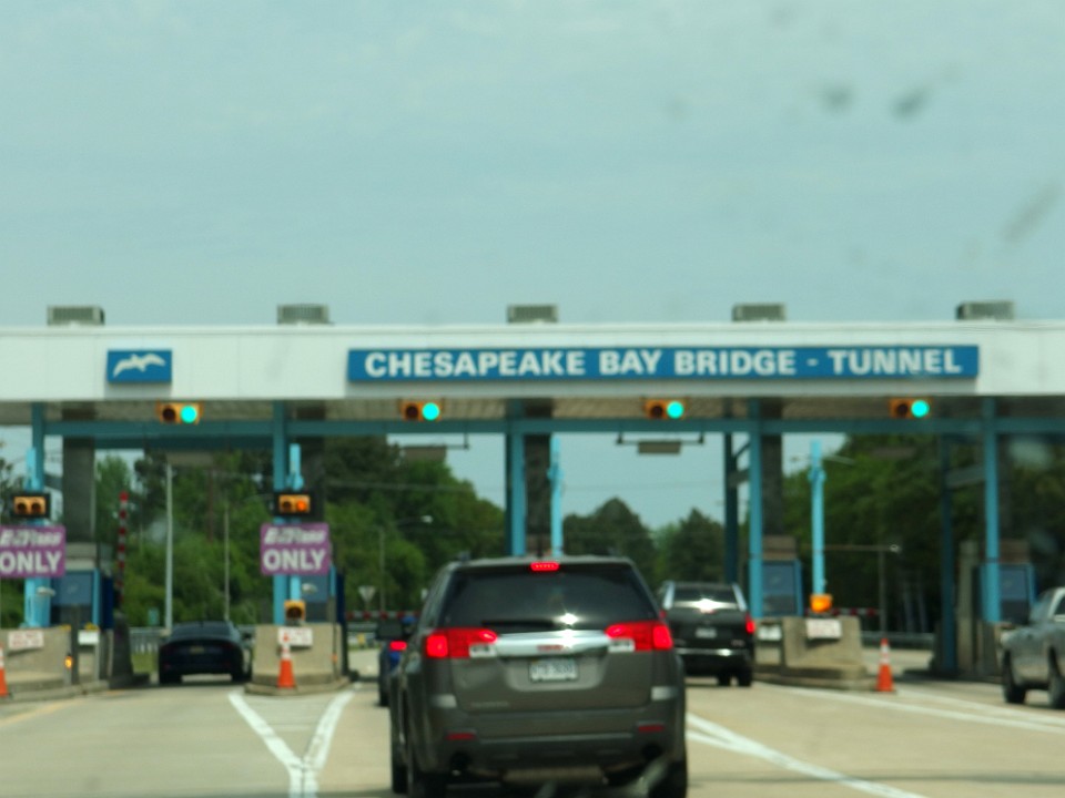
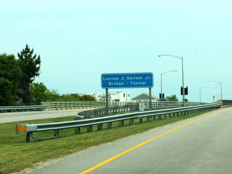
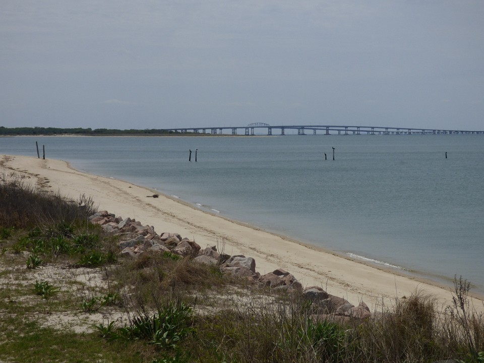
 1 Chesapeake Bay Bridge - The Chesapeake Bay Bridge–Tunnel (CBBT) is a 23-mile (37 km) bridge–tunnel crossing at the mouth of the Chesapeake Bay, the Hampton Roads harbor, and nearby mouths of the James and Elizabeth Rivers in the American state of Virginia. |
 2 |
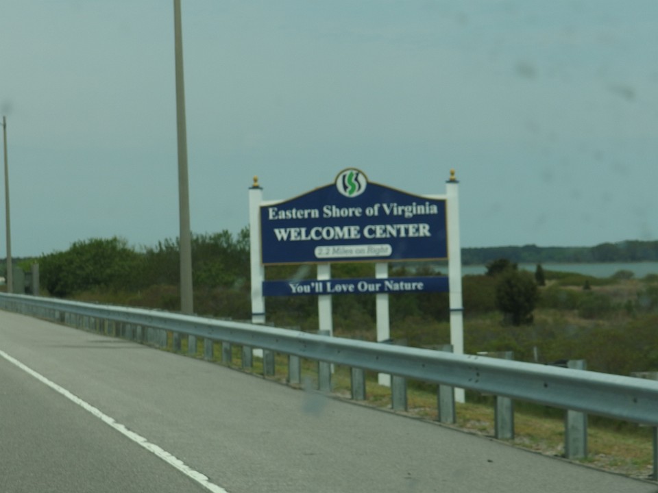
 3 It connects Northampton County on the Delmarva Peninsula and Eastern Shore with Virginia Beach, Norfolk, Chesapeake, and Portsmouth on the Western Shore and South side / Tidewater which are part of the Hampton Roads metropolitan area of eight close cities around the harbor's shores and peninsula. |
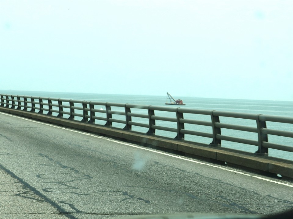
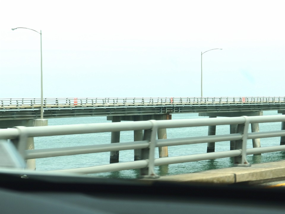
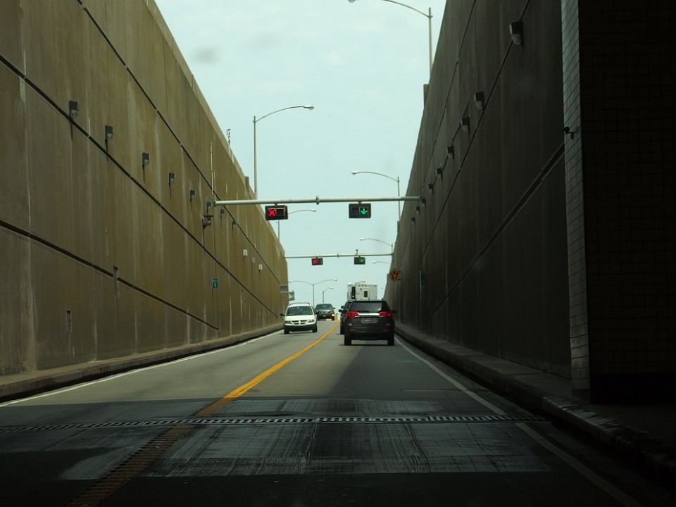
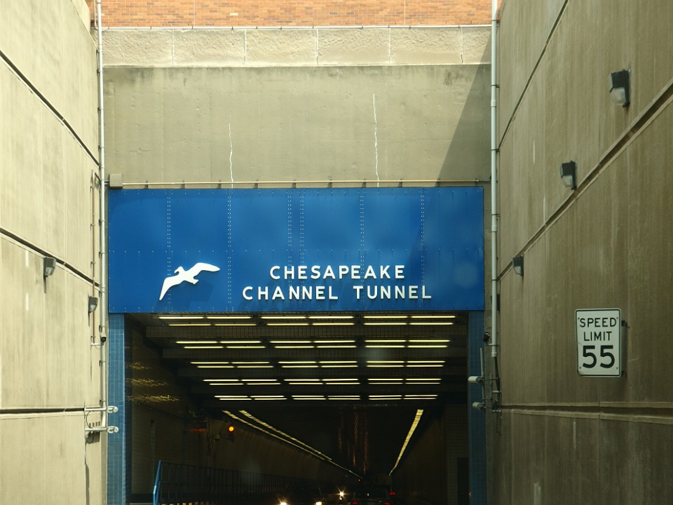
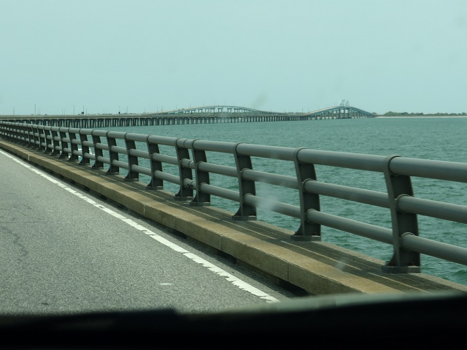
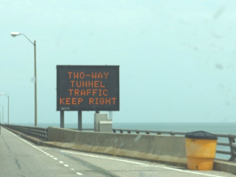 4 The Bridge-Tunnel originally combined 12 miles (19 km) of trestle, two 1-mile-long (1.6 km) tunnels, four artificial islands, four high-level bridges, approximately 2 miles (3.2 km) of causeway, and 5.5 miles (8.9 km) of northeast and southwest approach roads—crossing the Chesapeake Bay and preserving traffic on the Thimble Shoals and Chesapeake dredged shipping channels leading to the Atlantic. |
 5 |
 6 It replaced vehicle ferry services that operated from South Hampton Roads and from the Virginia Peninsula since the 1930s. Financed by toll revenue bonds, the Bridge–Tunnel was opened on April 15, 1964, |
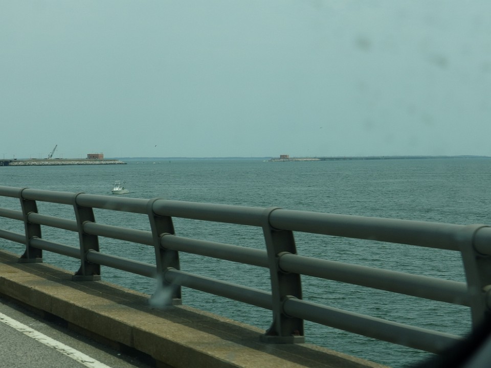
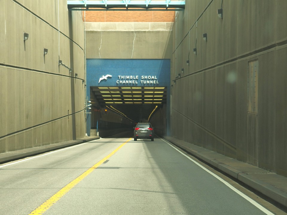 7 The tunnel portions, anchored by four man-made islands of approximately 5 acres (2.0 ha) each, would be extended under the two main shipping channels. |
 8 |
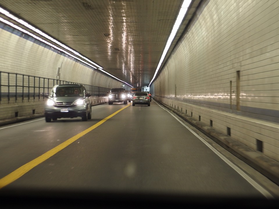
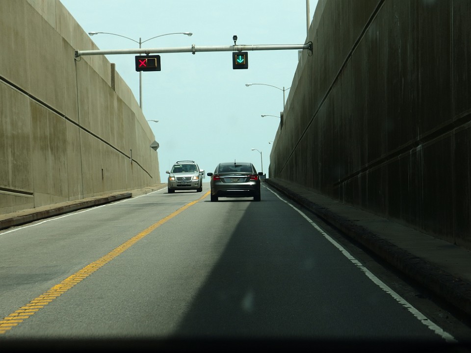
 9 The tunnels were constructed using the technique refined by Ole Singstad with the Baltimore Harbor Tunnel, whereby a large ditch was first dug for each tunnel, into which was lowered pre-fabricated tunnel sections cable-suspended from overhead barges. Interior chambers were filled with water to lower the sections, the sections then aligned, bolted together by divers, the water pumped out, and the tunnels finally covered with earth. |
 10 |
 11 |
 12 |
 13 |
 14 |
 15 |
 16 Chesapeake Bay Bridge Tunnel Observation Area |
 17 Chesapeake Bay Bridge Tunnel Observation Area |
 18 |